SUMMARY: 6299 feet to 9134 feet, 3.2 miles
DESCRIPTION: Osha is one of four main access trails to the crest of the Manzanos from the west side, along with Trigo and Comanche and Salas. Trigo goes up a canyon, and by contrast Osha follows a climbing ridge to the top. Osha can be part of a loop with Trigo: Trigo to Crest to Osha to Comanche back to the trailhead, or the other way around, for an 8.5 mile loop.
“Osha” may refer to a perennial herb, known by many names: bear root, love root, mountain parsley, etc. Several other “Osha” trails are located in New Mexico.
GETTING THERE: Follow the “Getting There” driving directions for Trigo Canyon Trail #185. At trailhead parking, go to the furthest uphill corner, where an unsigned opening leads to Comanche Trail. Follow Comanche northeast along a fence line 1.3 miles to a signed intersection, the start of Osha.
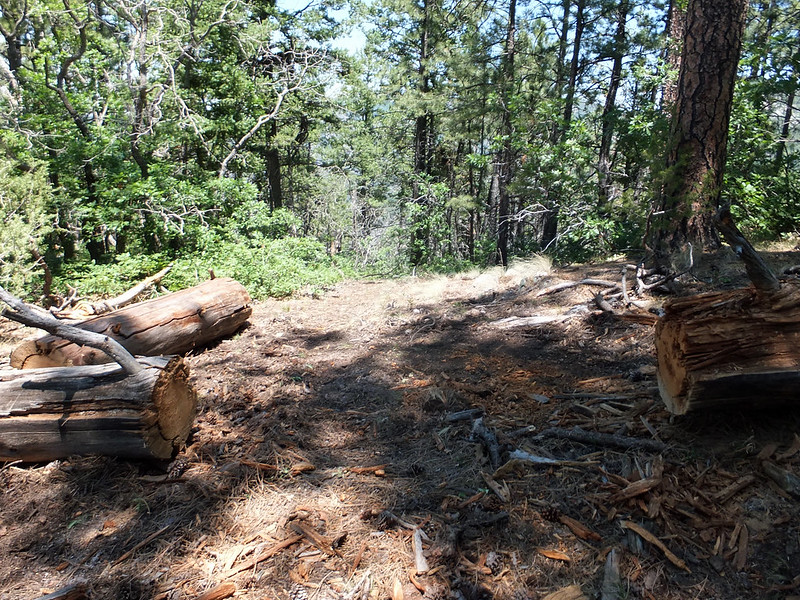
CONDITIONS: The trail has some few switchbacks on well-engineered trail, with no significant drainage problems. This route has a tendency for false trails, caused by game and humans, but recent work should make navigation easier. As of June 2020 downfalls were clear until the upper 1.4 miles. Upper Osha was hard to navigate, with downfalls causing a jumble of user trails, and thinning near the top made it hard to route-find by searching for old saw marks at the edge of the trail.
NMVFO has done recent work on this trail:
Lower Osha ADD-ON (Mountainair RD)
Four volunteers cleared lower Osha trail on the west side of the Manzanos up to the point that NMVFO worked down to from the top last year.
Osha Trail 1 (Mountainair RD)
Remove downed trees and brush back corridor to define the trail
Osha Trail Small Group Project
Removed deadfall from the Osha Trail and closed off user trails.