SUMMARY: 6.2k feet to 9.8k feet, 7.0 miles
DESCRIPTION: The Salas Trail is one of four trails going from the base of the Manzano Mountains to the crest from the west side, starting at John F Kennedy Campground trailhead. Salas is the most southern of the four trails, and has the best views, especially on descent.
Correct map coming soon!
GETTING THERE: From the west, follow the driving directions for Trigo Trail, park at the trailhead, and walk through now-closed John F Kennedy Campground, looking for a trail to the south.
Alternatively, get to upper Salas by parking at Red Canyon Trailhead, hiking up the 2.6 mile length of Red Canyon Trail, and 0.4 miles south along the Crest Trail to a signed intersection.
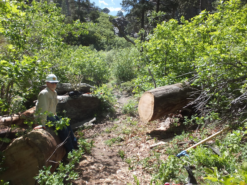
CONDITIONS: As of August 2020, we counted about 40 downfalls on upper Salas. We lost the trail descending in a couple of places, and recovered. At about 1.4 miles from the top, the trail becomes brushy for a mile or so.
NMVFO has NOT YET done recent work projects on this trail:
There are no upcoming events at this time