SUMMARY: 7560 feet to 9930 feet, 2.9 miles
DESCRIPTION: South Baldy Trail is a steep climb up the side of a canyon to South Baldy Peak after short road-walk at the top, with good views rewarding the effort.
GETTING THERE: From Highway 60, take Water Canyon Road, past the turn-off to Water Canyon Campground, follow the signs toward Magdalena Ridge Observatory, go 1.9 miles beyond the campground, and look for the sign for South Baldy Trailhead, with parking along the road.
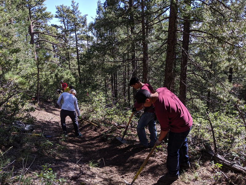
CONDITIONS: After our efforts in 2019, a couple of members scouted the trail in April 2020, and discovered 8 new downfalls across the trail, with most near the bottom, including one monster log to climb over right at the beginning of the hike. New water drainage features seem to be working well. A lot of lopping was recently completed, but more needs to be done toward the top.
NMVFO has done recent work on this trail:
Water Canyon CG (Magdalena RD)
Several small teams tackled geographically dispersed trails that needed deadfall removal and brushing.
South Baldy Trail #11 (Magdalena RD)
Repair/redefine tread, clear brush and down fall in a part of the Cibola National Forest that is new to the NMVFO
