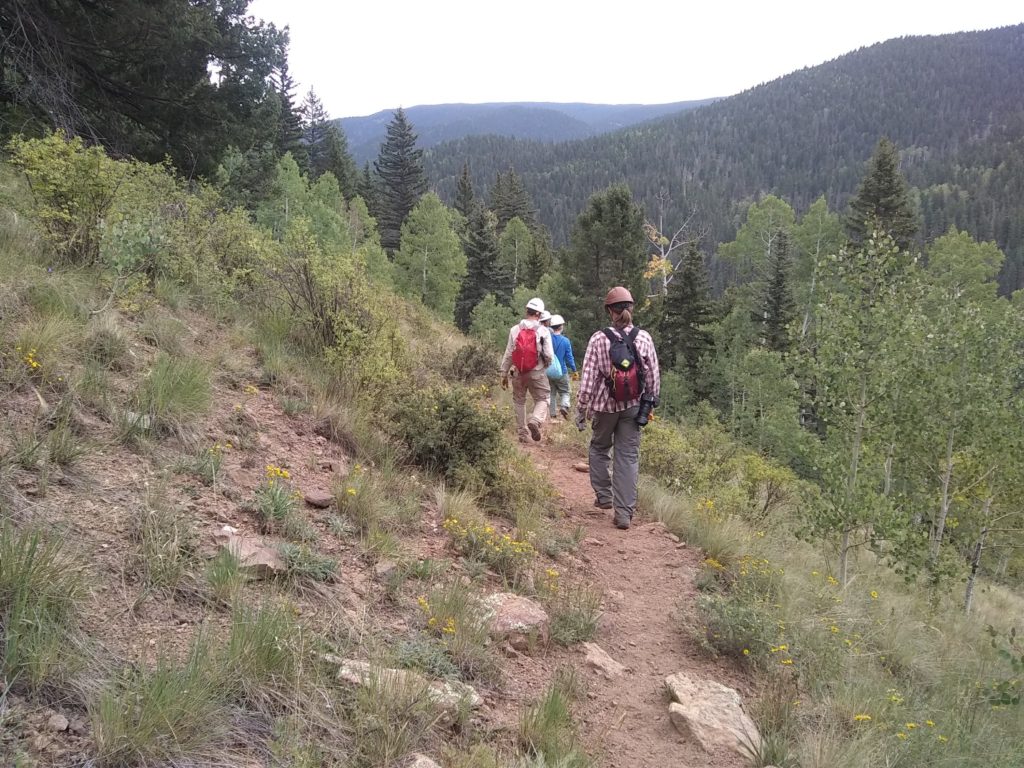
SUMMARY: 9580 feet to 11308 feet, 8.8 miles
DESCRIPTION: The Rociada Trail #250 starts at the junction with the Hamilton Mesa Trail #249 at about 9580 feet elevation. It goes down the side of the mesa for three miles to the edge of Mora Flats past the Las Trampas Trail #240 at about 9340 feet, and the Valdez Trail #224, goes up to meet the Skyline Trail #251 at 11308 feet, then descends down to the Sparks Canyon area.
“Rociada” is Spanish for “spray, dew, shower, or sprinkling”. The trail may be named for the small community of Rociada, a few miles southeast of the eastern terminus of the trail.
GETTING THERE: Drive the terrifying dirt road up to the Iron Gate Campground and Trailhead. A high-clearance vehicle is strongly recommended. Hike one mile up the Hamilton Mesa Trail to the junction with the Rociada Trail, at the top of the mesa.
CONDITIONS: The 5.0 mile section between the Hamilton Mesa Trail and up to the first switchback past Mora Flats is well-used, and cleared of brush as recently as August 2020. Sixty trees were cleared during the 2020 project, mostly east of Mora Flats.
Near the junction of Rio Mora and Rio Valdez, the Rociada trail begins to turn eastward and ascends up to Skyline trail. The trail was cleared of downfall in 2020 up to the two mile mark from this junction, or about halfway up to Skyline (around 35.8699, -105.5488, conditions are unknown beyond that). It’s important to note that this section of the Rociada trail sees much less traffic, has many water crossings, can be muddy, and has a leg-burning 2100 ft elevation gain to Skyline trail.
NMVFO has done work on this trail:
Rociada Trail Backpack (Santa Fe NF)
Brushing and downfall removal along the Rociada Trail in the Mora Flats area
