SUMMARY: xxx feet to xxx feet, xxx miles
DESCRIPTION: Attached to Datil Well Campground (BLM) is a loop trail through rolling sandy hills of piñon and juniper and grasses, with Ponderosa woodlands.
In the 1880s the Magdalena Livestock Driveway was established between Springerville AZ and the railroad connection in Magdalena, NM, a length of 120 miles. Fifteen wells were dug along the trail by the Civilian Conservation Corps in the 1930s, spaced about one day apart for cattle and two days apart for sheep. Datil Well is the site of one of the original wells. The last cattle drive ended in 1971.
Correct map coming soon!
GETTING THERE: Datil is 61 miles west of Socorro on US Hwy 60. The campground is ¼ mile south of Datil on Hwy 12, or continue past Datil on Hwy 60 and turn at the sign for Datil Well Campground, and go just beyond the group camping site to trailhead parking.
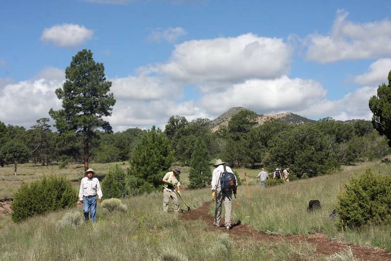
CONDITIONS: Generally good tread, though the sandy soil may need water diversion and re-routes to prevent ditching in places. The trail has several branches and loops, but maps were recently installed at all important intersections.
NMVFO has done several recent projects on this trail:
Datil Well Campground (BLM)
Continuing new trail loop construction begun during the 2018 season at this historic landmark area near the Very Large Array.
Datil Well Recreation Area
Trail maintenance near Datil Well Campground. Stay tuned for more details!